The Ward Line: Kent to South Australia


The Ward Line
|
|

George Ward
|
|
The County of Kent is in South East England. It borders Greater London to the north-west, Surrey to the west and East Sussex to the south west.
Kent is blessed with a spectacular coastline. Along the south coast are the iconic White Cliffs of Dover, which run from Kingsdown to Folkestone. Because of its proximity to the Continent, Dover has always been an important cross channel port. A line of chalk hills, the North Downs, run from the west of Kent to the east forming the spine of the county. Kent is best known as the ‘Garden of England’ and is renowned for its lavender fields, apple and cherry orchards, vineyards, hop gardens and many private and public gardens. |
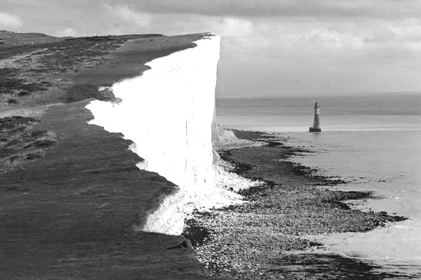
The White Cliffs of Dover
|
The town of Ashford lies on the Great Stour River at the south edge of the North Downs. St Mary’s Parish Church lies in the town centre, parts of the church date from the 13th century.

Ashford Railway Station, South Eastern and Chatham Railways, c.1910
The London to Dover railway line opened in about 1842, a locomotive works and railway station were established in Ashford soon after. In 1899, the London, Chatham and Dover Railway merged with the London and Greenwich Railway to form the South Eastern and Chatham Railway.

Great Chart, Kent
|
 St Mary the Virgin Parish Church, Great Chart St Mary the Virgin Parish Church, Great Chart
|
The village of Great Chart is located to the south west of Ashford. It is a largely agricultural village with farms producing cereals and grass for cattle and sheep. The main road in the village is called ‘The Street.’ Great Chart parish church was originally built about 1080. The medieval church is dedicated to Saint Mary the Virgin.

Top
